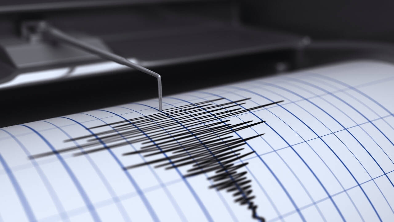
Nature doesn't care about our infrastructure maps. When a magnitude 5 earthquake rattled Tibet, it didn't happen in a vacuum. It struck right in the middle of an already desperate search for thousands of missing people following catastrophic flash floods.
If you've been following the disaster updates, you know the region is practically buckling under compounding catastrophes. Let's break down what's actually happening on the ground, why rescue efforts are stalling, and what this means for the fragile Himalayan ecosystem.
The Crunch of Tectonic Plates Meets Rising Waters
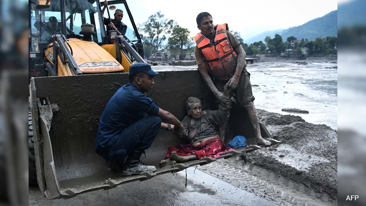
The timing couldn't be worse. A magnitude 5 tremor hit Tibet at a shallow depth of about 10 kilometers, sending fresh shivers through an area already battered by an ice-rock avalanche. Weeks prior, a massive glacial collapse triggered a wall of water and debris—often described locally as a Himalayan tsunami—that plowed down through the Bhote Koshi and Trishuli river valleys.
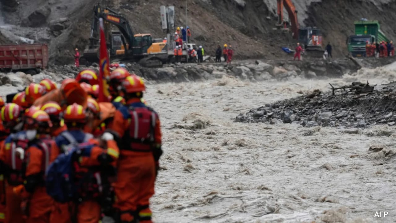
Whole villages vanished overnight. Roads turned into ribbons of mud. And just as rescue teams started gaining traction by reopening the vital G216 national highway to push heavy machinery into the Gyirong border zone, the earth decided to shake again.
While seismologists reported no immediate major structural collapses from the tremor itself, the psychological and physical toll on rescue workers is immense. Every aftershock triggers fresh landslides, closing off paths that took days to clear.
The Search for Thousands in an Impossible Terrain
Numbers in mass disasters often lose their meaning, but the scale here is staggering. Across the border in Nepal and Tibet, the combined death toll has climbed past 1,200, while thousands remain unaccounted for.
Rescue operations face brutal bottlenecks:
- Unstable Cliffs: Persistent rain and loose debris mean rescue helicopters and ground crews risk their lives with every pass.
- Washed-Out Landmarks: Riverbanks and familiar paths have been completely erased, forcing pilots to navigate using raw personal judgment.
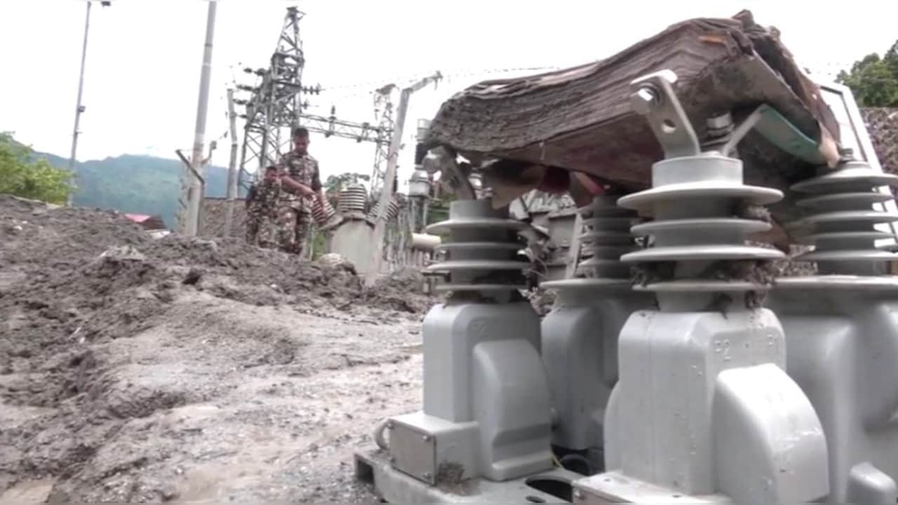
- Trapped Infrastructure: Teams are desperately focusing their energy on hydropower tunnels, where engineers believe pockets of workers might still be holding on with emergency air, food, and water.
International tourists, pilgrims heading toward Mount Kailash, and local laborers make up a hauntingly large percentage of the missing lists. Families across the globe are refreshing news feeds, waiting for chopper pilots to land in places like Bidur and Kathmandu with any shred of news.
Why the Himalayas Are Becoming a High-Risk Zone
Geologists have warned about this for years. The Hindu Kush Himalaya region is warming faster than the global average. As temperatures rise, glaciers thin, destabilizing high-altitude lakes and mountain slopes.
When you combine rapid glacial melting with heavy monsoon rains and active seismic fault lines, you get a recipe for cascading disasters. An earthquake shakes loose a weakened cliffside, blocking a river. The resulting temporary dam eventually bursts, sending an inland tsunami downstream.
Governments are scrambling to respond. Nepal is already planning to rebuild its early-warning systems with seismic sensors and satellite links near the border. But technology only works if it's maintained before the disaster strikes, not after the valley floor has been swept clean.
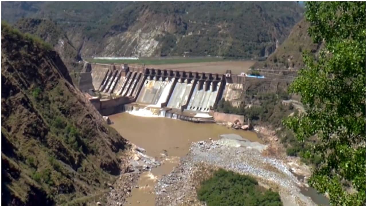
Keep an eye on how regional authorities manage the structural integrity of remaining barrier lakes. If those upstream hazards aren't monitored continuously, the next tremor won't just rattle the mountains—it could finish what the floods started.