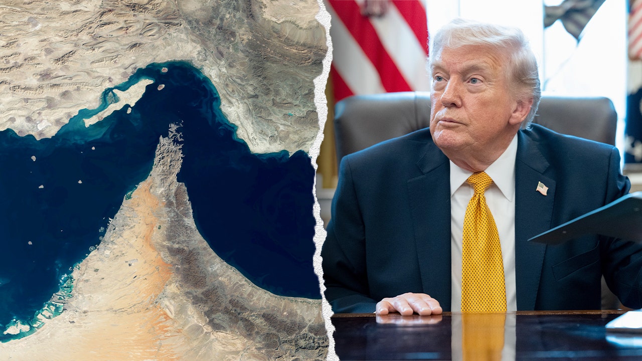
When a world leader posts an AI-generated map claiming a strategic global waterway as national territory, the internet reacts with a mix of shock and confusion. President Trump did exactly that on Tuesday, August 18, sharing a post on Truth Social that labeled the Strait of Hormuz as "NEW U.S. Territory." It wasn't just a random graphic. It was a calculated signal in a high-stakes standoff that has global energy markets watching every move.
You might be tempted to dismiss this as just another digital stunt. That would be a mistake. The post marks a shift in how political messaging uses generative tools to solidify hard-line policy stances. This isn't just about pixels on a screen. It’s about the projection of power in a region where every square mile carries massive economic weight.
The Reality Behind the Rhetoric
The Strait of Hormuz is the world’s most critical oil chokepoint. About a fifth of the world’s petroleum consumption passes through this narrow passage between Iran and Oman. When Trump declares "total control" and backs it up with a visual, he’s speaking directly to both the American public and the Iranian leadership.
He’s not just talking about geography. He’s talking about a naval blockade. By asserting that the strait is open and that mines have been cleared, he is effectively claiming that the US military has established a new normal in the region. This follows the expiration of a 60-day memorandum of understanding that was meant to keep the lanes clear. Since that deal collapsed, we've seen a return to a "might makes right" dynamic.
Iranian officials, including Parliament Speaker Mohammad Bagher Ghalibaf, haven't been quiet. They are framing the situation as a breach of promises. Their stance remains that the waterway will stay closed to commercial traffic until the blockade is lifted and sanctions are rolled back.
The AI Factor in Modern Diplomacy
It’s worth looking at the medium here. Trump using AI to visualize a geopolitical claim is a modern evolution of the classic political map. In the past, a president might point to a physical map in the Oval Office. Today, the message is tailored for the feed.
Interestingly, this comes shortly after the President signed the Take It Down Act into law, a piece of legislation aimed at curbing non-consensual deepfakes and AI-generated abuse. While that law targets specific harms, the use of generative tech in political branding highlights a gray area. There’s no ambiguity in a government-backed declaration of territory, even if the image used to illustrate it was whipped up by software.
You’re seeing a new intersection of tech policy and raw power. The administration has been pushing for national AI frameworks that encourage innovation while trying to maintain control. When the leader of the country uses that same innovation to drive home a territorial claim, it sends a message that the US intends to lead in the digital domain as aggressively as it does on the water.
What This Means for You
If you're wondering how this affects your daily life, look at the gas pump. The stability of the Strait of Hormuz is the primary driver of global oil prices. When the US claims "total control" and insists the route is open, it’s an attempt to calm the markets. Conversely, threats of closure from Tehran create the volatility that drives prices up.
Basically, you are watching a high-stakes game of chicken. The "New U.S. Territory" label is a political assertion, not a legal one under international law. Yet, in the real world, enforcement is what matters. If tankers are moving, the price stays steady. If the rhetoric turns into real-world blockades, you’ll feel it in your wallet.
Don’t expect a quick resolution. Both sides are currently dug in. Tehran is demanding specific concessions—the release of frozen assets and an end to military pressure—while Washington is doubling down on the effectiveness of its current naval strategy.
Keep an eye on official government announcements regarding maritime security in the region. That’s where the actual shift in policy will be signaled, regardless of what appears on social media. For now, the best move is to watch the oil markets and wait to see if the naval presence holds the line. The digital map is just the headline; the blockade is the story.