The Hidden Scar in the Australian Earth
Deep beneath the red dirt of the Australian outback lies what may be the largest asteroid impact structure on Earth. For decades, scientists tracked subtle anomalies in the planet’s magnetic and gravitational fields, pointing toward a massive scar buried in New South Wales. This is the Deniliquin structure. It measures up to 520 kilometers in diameter, a scale that dwarfs the impact zone responsible for wiping out the dinosaurs.
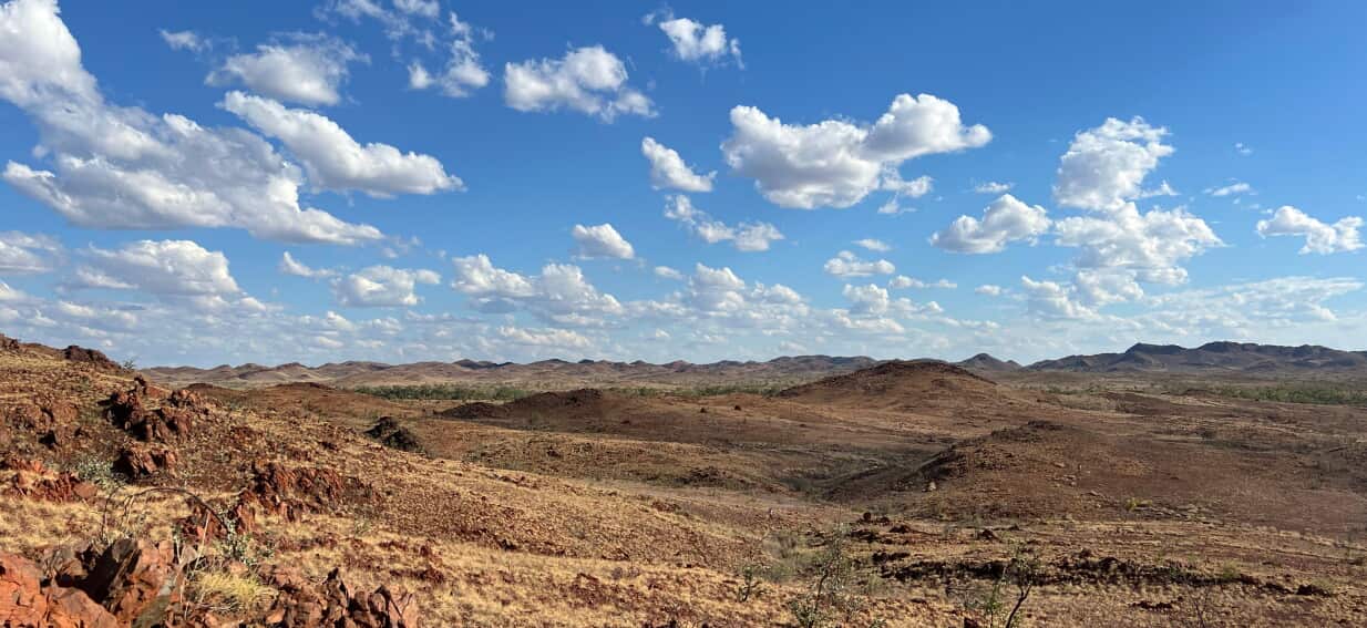
While the public often views space rocks as a threat from above, the real story rests in what these cataclysms leave behind on the ground. The Deniliquin structure represents more than a geological curiosity. It is a window into the violent formation of our modern continents. Understanding this site requires looking past the surface. Standard satellite imagery shows nothing but flat plains and agricultural land because hundreds of millions of years of erosion and sediment have blanketed the zone.
Proving the exact scale of such an ancient event demands rigorous subsurface analysis. Geophysicists rely on magnetic surveys to map the subterranean ripples left by the extreme heat and pressure of an impact. When an asteroid of unimaginable proportions strikes the crust, it deforms the earth, generating magnetic anomalies that persist for eons. The data coming out of southeastern Australia suggests a collision of unprecedented scale, yet the scientific community remains locked in debate over the definitive proof needed to crown it the undisputed record-holder.
The Physics of a Planetary Scar
To comprehend how a 520-kilometer wide structure forms, one must look at the mechanics of extreme kinetic energy transfer. An asteroid striking the Earth at hyper-velocity behaves less like a rock hitting mud and more like an explosion of pure energy. The crust behaves like a fluid under these conditions.
Upon impact, a massive shockwave ripples through the target rocks, compressing them instantly. This is followed by a release wave that causes the ground to rebound upward, creating a central uplift. Think of a drop of water hitting a still pool, frozen in time at a massive scale.
In the case of Deniliquin, the central uplift is estimated to be tens of kilometers across. The intense heat generates vast sheets of impact melt, turning solid crust into oceans of liquid rock that cool over millennia. Over time, tectonic shifts and weather bury these features, leaving only the deep magnetic signatures that modern instruments can detect.
Mapping the Invisible
Geophysicists cannot simply dig up a structure of this size. Instead, they map it using specialized tools that read the Earth's hidden physical properties.
- Magnetic Anomalies: The intense heat of an impact resets the magnetic orientation of minerals in the crust, leaving a distinct circular pattern that contrasts sharply with the surrounding regional geology.
- Gravitational Variations: Massive impacts displace dense mantle material, drawing it closer to the surface. This creates a localized gravitational pull that instruments can measure from aircraft or satellites.
- Seismic Reflection: By bouncing sound waves deep into the earth, researchers map the fractured and warped layers of rock, revealing the telltale bowl shape of an ancient crater rim.
The Continental Disruption
The implications of the Deniliquin structure stretch far beyond breaking a record in a textbook. The timing of this supposed impact aligns roughly with the Late Ordovician mass extinction event, a period when nearly 85 percent of marine life vanished from the planet.
A collision of this magnitude releases vast quantities of sulfur, ash, and greenhouse gases into the upper atmosphere. Global temperatures plummet, followed by severe, long-term climate destabilization. The physical shock can also trigger widespread volcanic activity on the opposite side of the globe, compounding the ecological disaster.
Beyond the immediate destruction, these massive impacts permanently weaken the continental crust. The fractured zones become weak points where magma can rise, potentially forming rich mineral deposits millions of years later. Australia's vast mineral wealth is tied directly to its ancient, undisturbed geology, and structures like Deniliquin may hold the key to finding the next major reserves of critical resources.
The Battle for Definitive Proof
Securing a spot in the record books requires more than magnetic maps and theoretical models. The current undisputed largest verified impact site is the Vredefort crater in South Africa, which spans roughly 300 kilometers. Vredefort is verified because its rocks are exposed at the surface, allowing scientists to physically collect and analyze samples.
Deniliquin remains an unconfirmed contender due to its isolation beneath hundreds of meters of sediment. To silence the skeptics, researchers must extract physical samples from deep within the core of the structure. They look for specific microscopic markers that only occur under the extreme pressures of a planetary collision.
The Smoking Guns of Impact Geology
+--------------------------+---------------------------------------------------------+
| Evidence Type            | Geological Significance                                 |
+--------------------------+---------------------------------------------------------+
| Shocked Quartz           | Microscopic fractures formed only by intense shockwaves |
| Shatter Cones            | Conical rock structures produced by high-pressure waves |
| Iridium Anomalies        | Extraterrestrial chemical signatures left by asteroids  |
+--------------------------+---------------------------------------------------------+
Without drilling core samples directly from the central uplift of the Deniliquin structure, the data remains circumstantial. Funding these deep-drilling operations in remote parts of the outback is incredibly expensive, and mining companies or government agencies must see a clear economic return before committing millions of dollars to a purely academic pursuit.
Looking Straight Down into the Abyss
The search for answers continues to push the boundaries of exploratory technology. As airborne magnetic surveys become more precise, the true outlines of Earth’s violent past are coming into focus. The outback acts as a pristine archive because the continent lacks the aggressive tectonic recycling seen in places like the Americas or Europe.
If the data holds true under physical drilling validation, humanity will have to recalibrate its understanding of Earth's early history. The planet bears the scars of collisions that completely reshaped its oceans, atmospheres, and evolutionary trajectories. The red dirt of Australia guards a secret that could rewrite the history of the world, waiting for a drill bit to finally hit the truth.