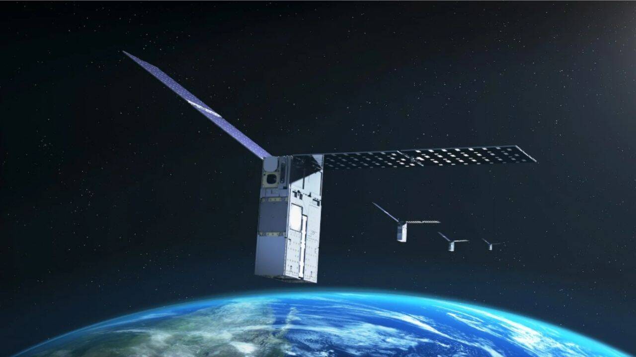
Traditional spacecraft operations rely on an external umbilical cord of ground station telemetry and Global Positioning System constellations to maintain positional awareness. When spacecraft travel beyond Low Earth Orbit, or when ground infrastructure faces communication latency and blackout windows, this dependency introduces critical operational vulnerabilities. NASA's recent flight demonstration of the Fast Autonomous Lost-in-space Catalog-based Optical Navigation system aboard the Starling mission shatters this paradigm. By utilizing onboard optical cameras to capture passing resident space objects—ranging from active satellites to defunct orbital debris—and cross-referencing them against an onboard catalog, spacecraft can execute self-orbit determination without ground intervention.
The mechanics of this capability rest on transforming passive nuisances into active navigational anchors. Spacecraft have long utilized star trackers to compute attitude by matching observed stellar photon emissions against fixed celestial catalogs. The system scales this optical methodology to dynamic near-field objects. As a satellite moves through Low Earth Orbit, its optical payloads record the bearing angles of nearby space objects traversing the field of view.
The Three Pillars of Autonomous Optical Positioning
- Catalog Ground Truth: An onboard database containing predicted ephemerides for thousands of tracked space objects provides the initial state vectors required for identification.
- Angle-Only Measurements: Optical sensors capture precise directional vectors toward target objects, yielding line-of-sight angles without requiring active ranging radar or transponder handshake.
- Recursive State Estimation: Algorithms reconcile the discrepancy between predicted object positions from the catalog and observed optical vectors to simultaneously solve for the observer's true position and refine the target's orbit.
This dual-solution architecture solves two distinct problems simultaneously. During the three-day flight test sequence, the system determined the host spacecraft's precise orbit while concurrently improving the trajectory accuracy of over two hundred tracked space objects. This bidirectional feedback loop demonstrates that decentralized navigation can actively enrich space situational awareness rather than merely consume it.
The operational bottleneck of traditional orbit determination lies in the frequency of ground contact. Ground networks must schedule tracking passes, ingest raw radar or radio frequency data, run batch least-squares estimations, and upload corrected ephemerides back to the spacecraft. This latency creates a positional uncertainty ellipse that grows over time, particularly during orbital maneuvers or atmospheric drag fluctuations.
By shifting the computational burden onboard, the system compresses the observation-to-correction feedback loop to near-zero latency. The satellite processes photons locally, queries its onboard catalog of approximately twenty thousand objects, and calculates its exact coordinate matrix autonomously.
The Mechanics of Decentralized Ephemeris Refinement
When an observer spacecraft sights a cataloged object, the stray positional error is rarely uniform. Ground-based tracking networks suffer from temporal gaps between observation passes for any given object. When the observer satellite captures an optical bearing angle that deviates from the cataloged ephemeris prediction, that delta contains dual information. Part of the error stems from the observer's own positional offset, while the remainder originates from the target object's orbital drift.
Advanced estimation algorithms parse these residuals by aggregating multiple observations across varying orbital geometries. Over multiple passes, the system isolates the observer's true state vector from the target's trajectory deviations. This explains why the flight demonstration successfully refined the orbits of hundreds of debris fragments without operator oversight. The spacecraft effectively acts as a mobile sensor node, updating the map while using the map to locate itself.
Scaling this architecture introduces distinct engineering constraints. The efficacy of catalog-based optical navigation depends entirely on the fidelity and freshness of the onboard database. If the catalog diverges significantly from physical reality due to unmodeled maneuvers or rapid space weather events that alter atmospheric density and orbital decay rates, optical matching algorithms experience degradation in identification accuracy.
Furthermore, optical sensors are bound by lighting conditions and obscuration geometry. Earthshine, solar exclusion angles, and shadow eclipses limit passive optical tracking arcs. Consequently, this technology cannot completely replace radio frequency tracking or inertial measurement units; rather, it functions as an autonomous correction layer designed to bridge communication voids.
The strategic deployment of this capability extends far beyond Low Earth Orbit housekeeping. As deep space exploration matures toward sustained lunar architecture and multi-node orbital networks around Mars, reliance on terrestrial GPS becomes physically impossible. Spacecraft operating in cislunar space require self-contained positioning methodologies to maintain formation flying, autonomous rendezvous, and distributed science measurements. Distributed instrument arrays—where multiple spacecraft act as a synthetic aperture or synchronized sensor web—fail if individual nodes cannot calculate their relative baselines with centimeter-level precision.
Future iterations of distributed flight software will enable autonomous swarms to share tracking data dynamically via inter-satellite links, creating an ad-hoc local navigation network that updates in real time. Implement decentralized processing nodes across all operational spacecraft to transition orbital operations from ground-tethered supervision to fully autonomous spatial awareness.